This post covers travel from Holden Beach NC to Annapolis MD, with stops at Bald Head Island NC, Swansboro NC, Belhaven NC, Alligator River NC, Dismal Swamp NC/VA, Yorktown VA, and Crisfield MD.
April 8, Holden Beach (m322) to Bald Head Island (m309) (total traveled: 18SM). A short but eventful travel day. Crossing the Baldhead Caswell from Southport to Bald Head Island, the waves got a bit sporty with wind lifting some water over the pilot house. Strong current as you enter the marina channel, calling for a take-it-like-you-mean-it approach. Our slip had shoaling, and at low tide we found ourselves in -2’ of muck. We moved slips as soon as the tide lifted us out. We biked the island and explored the beaches. A beautiful place to spend a few days.
April 10, Bald Head Island (m309) to Caspers Marina in Swansboro (m229) (total traveled: 82.6SM). We perfectly timed our 2PM arrival at the Onslow Beach swing bridge (12’ clearance) (m240.7), which opens only at the top of every hour upon request. However, the Marines at Camp Lejeune were performing live-fire drills immediately after the bridge and not letting boats pass until 3PM. Best laid plans. We slowed and drifted for an hour and passed the bridge and Camp Lejeune at 3PM. We watched several boats that went through the 2PM bridge opening hold position for an hour in a ¼-mile space between the bridge and Camp Lejeune. I’m glad we were on the north side of the bridge.
Swansboro is named after founder, Samuel Swann (1783). Instead of swans, however, Muscovy ducks waddle the streets freely. More than a few cars have “I [heart] Swansboro” bumper stickers. Town pride! There are several restaurant options and quaint shops – but it’s not a large town. Understated charm.
A 1 night stay turned into 4 due to storms. The first rainy day was cozy. The second rainy day-and night-we were on high alert, watching the wind and retying lines and adjusting fenders. Boats around us were having all sorts of issues – a fender board coming loose/boat slamming against the dock, biminis blowing off, etc. Around 9PM, I knew things were bad when Rob said that if either of us went outside we needed to wear a life jacket. I looked out to see the docks were submerged. In the marina lights we saw a sea otter resting on the submerged dock next to us (leaving too quickly to catch on film)!
April 13: Swansboro (m229) to Grand Manor Marina, Belhaven NC (m136) (total traveled: 92.7SM). Passed through the Bogue Sound (fine) and then Pamlico Sound (way too sporty/most sporty waters yet). Our “go” requirements are generally waves ≤ 2’ and wind ≤ 15 knots. During the crossing our anemometer picked up a 43 mph wind gust. Our wind and wave apps that we studied before leaving the dock did not show these conditions.
April 16: Belhaven NC (m136) to Alligator River Marina (m84.3), (total traveled: 53.9SM). From Belhaven to Norfolk 2 routes that can be taken: 1) Belhaven to Coinjock to Norfolk; or 2) Belhaven to Elizabeth City, then through the Dismal Swamp to Norfolk (our route). Slower, smaller boats with a shallower draft are more likely to take the 2nd route. The Dismal Swamp is beautiful but boats with ≥ 5’ drafts may touch bottom occasionally.
Both routes require crossing the Albemarle Sound, which boaters take seriously and plan for carefully. We were leaving the docks from Belhaven at 6AM and 2 boats were already in front of us. The Alligator River, leading into the Albemarle, was sporty, edging towards Pamlico sporty (my new standard for intolerable), and we were reconsidering our Albemarle Crossing (app wind/waves said “go” but what we were seeing flashed “caution!”). A 41 foot Back Cove (fast boat) that passed us early in the Alligator River texted: “Don’t even TRY the Albemarle, we are turning around.” Decision made. We met up with these boat, and a few others that left Belhaven that morning, at the Alligator River marina for a nice evening of docktails.
April 17: Alligator River Marina (84.3) to Deep Creek Bridge wall, Dismal Swamp, VA (m11) (total traveled: 76.8SM). Great milestones today: the Albemarle Sound and Dismal Swamp! In terms of sportiness, Pamlico Sound was a 10, Alligator River a 5, and Albemarle a 2.5. Our Albemarle Sound crossing was actually a pleasant, enjoyable cruise!
Once across Albemarle, our next restrictions were the Elizabeth City bascule bridge (m50.7, restricted openings), the South Mills bridge/lock (m32.8, restricted openings) before the Dismal Swamp, and the Deep Creek bridge/lock (m11.1, restricted openings) at the end of the Dismal Swamp. After crossing Albemarle, we made it through the Elizabeth City bridge and the South Mills bridge/lock, but because you can only travel at ~5mph in the Dismal Swamp (shallow, narrow, possibility of hitting trees, deadheads, etc.), we could not make it through the Deep Creek bridge/lock. We tied up at the wall just before the bridge, ready for the next day.
The Dismal Swamp was probably the most scenic part of our Great Loop to date. No boats were in front of us and the water was glassy all day. In addition to the route being incredibly scenic, the sounds (birds, bugs) and scents (sweet air) made it a National Geographic day.
April 18: Deep Creek Bridge wall, Dismal Swamp, VA (m11) to Riverwalk Landing Marina, Yorktown, VA (total traveled: 51.4SM). Today’s milestones: passing through Norfolk, VA (MILE 0!), and entering the Chesapeake Bay!
We made it through the Deep Creek bridge/lock by 9:30AM, and soon after were cruising via the Elizabeth River through Norfolk. Barges, shipyards, Naval vessels, you name any huge ship and it is there. All hands on deck looking for tows and other boats that enter the channel or are moving even a little. Radar is very helpful in these areas.
Happy to be in historic Yorktown, we walked a bit and enjoyed a good meal with the Great Harbour next to us – the Great Harbour reminding us of our friends with whom we traveled with from Carabelle to Key West.
April 19: Yorktown, VA to Crisfield MD (total traveled: 70.8SM). Crossed the Chesapeake – mildly sporty seas. We were the only boat in the marina – clearly the season has not started yet.
April 20: Crisfield MD to Annapolis MD (total traveled: 85.6SM). Crossed the Chesapeake. The water could not have been flatter — a boring day for Rob until we approached the harbor where we could not count the number of sailboats. Sails-up sailboats always have the right-of-way.
Today’s plan started out going to Solomons, but we opted for a longer run to Annapolis so we could have 3 days of relaxation and seeing sights. Sunny and warm evening out but high 40s and overcast the next morning. Enjoyed walking around historic Annapolis, home of the US Naval Academy.
From Annapolis we plan to head to Delaware City via the C&D Canal, and then through the Delaware Bay, around NJ and to NYC!
Thank you for taking the time to share our journey.
Fair winds,
Amy
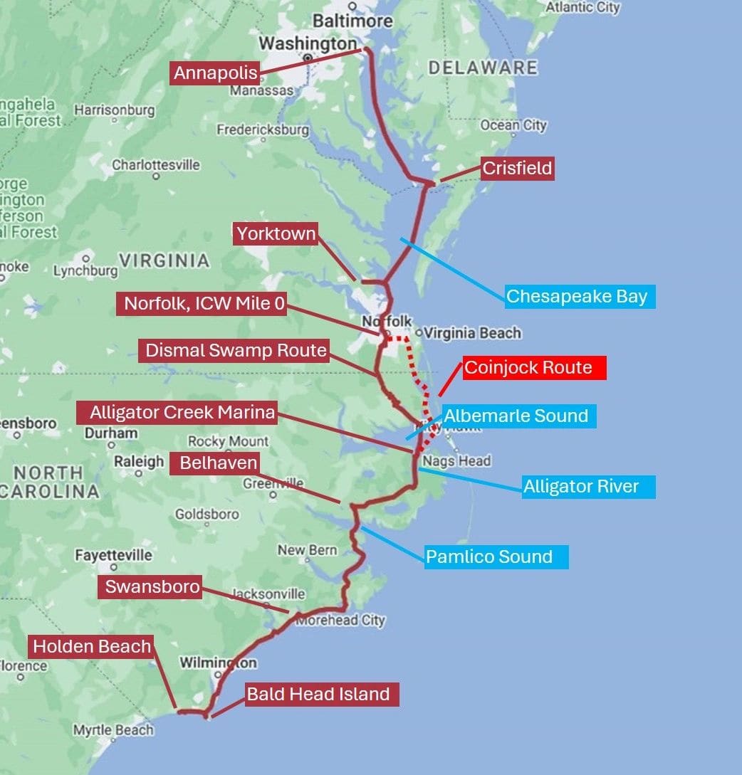
Holden Beach NC to Annapolis MD
Holden Beach NC to Annapolis MD
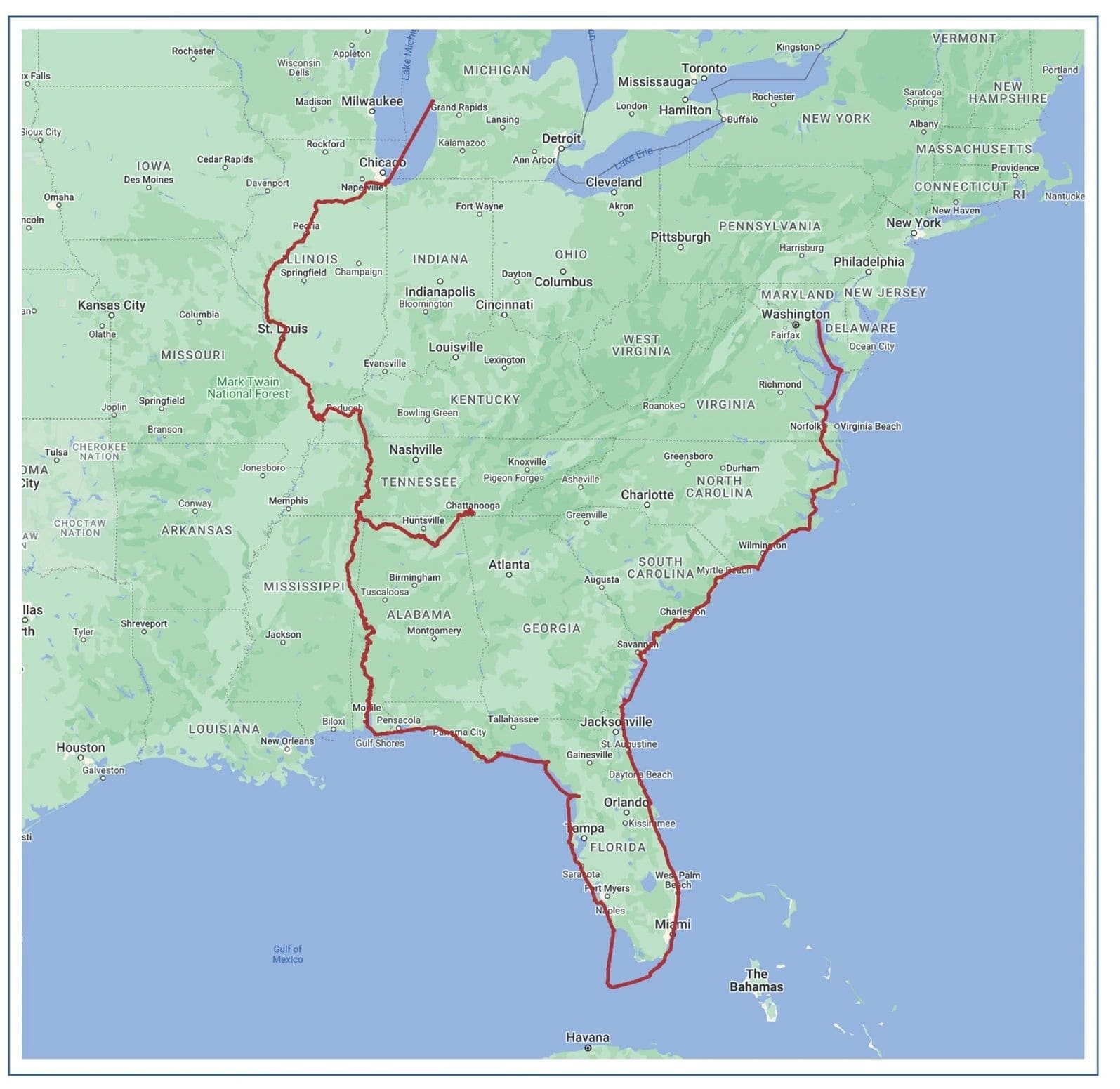
Voyage to date: 4583 statute miles!
Voyage to date: 4583 statute miles!
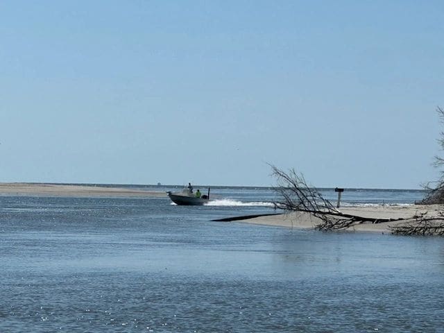
Leaving Holden Beach - Lockwoods Folly Inlet and mailbox where visitors leave letters.
Leaving Holden Beach - Lockwoods Folly Inlet and mailbox where visitors leave letters.
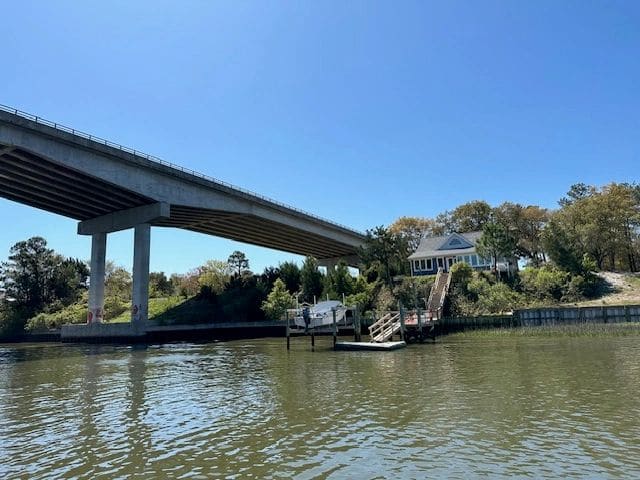
Oak Island Bridge, Feb 2023 we ran a 1/2 marathon over that bridge!
Oak Island Bridge, Feb 2023 we ran a 1/2 marathon over that bridge!
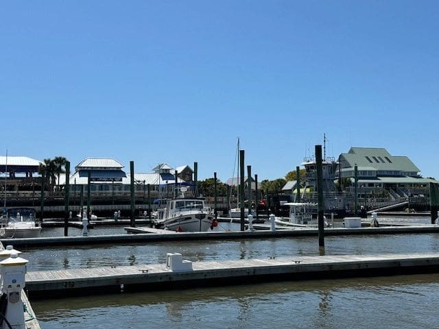
Grounded at Bald Head Island marina. Waiting for the tide to rise.
Grounded at Bald Head Island marina. Waiting for the tide to rise.
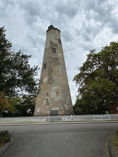
Old Baldy Lighthouse.
Old Baldy Lighthouse.
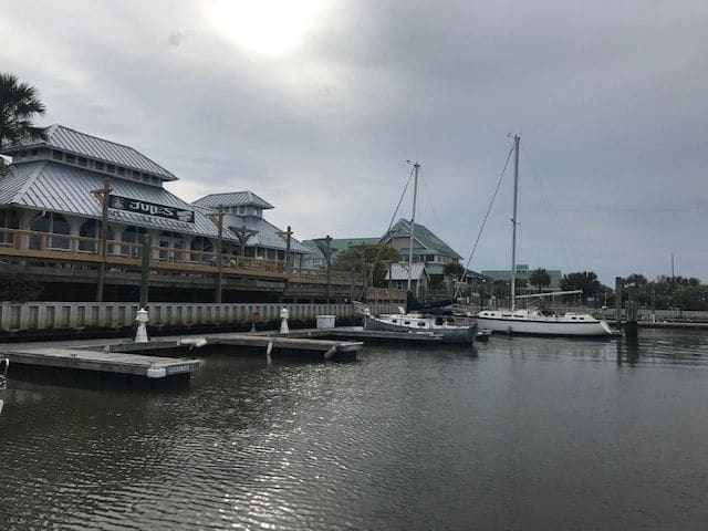
Bald Head Island marina.
Bald Head Island marina.
Dolphins during morning beach walk, Bald Head Island.
Dolphins during morning beach walk, Bald Head Island.
Hoverboarder on Bald Head Island beach.
Hoverboarder on Bald Head Island beach.
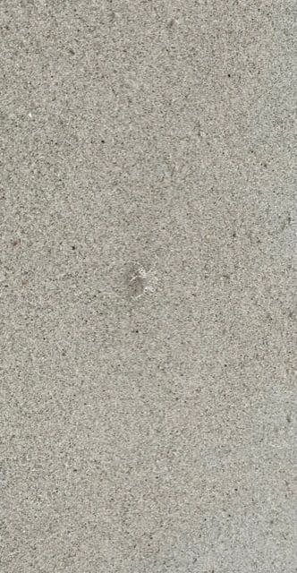
Sand bubbler crab - small, cute, fast!
Sand bubbler crab - small, cute, fast!
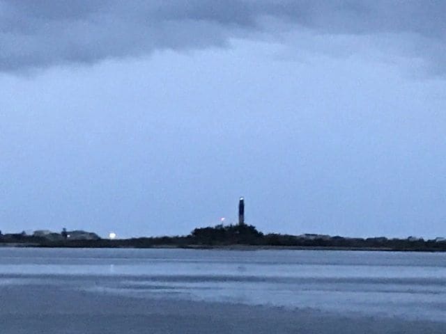
Leaving Bald Head Island, passing Oak Island lighthouse.
Leaving Bald Head Island, passing Oak Island lighthouse.
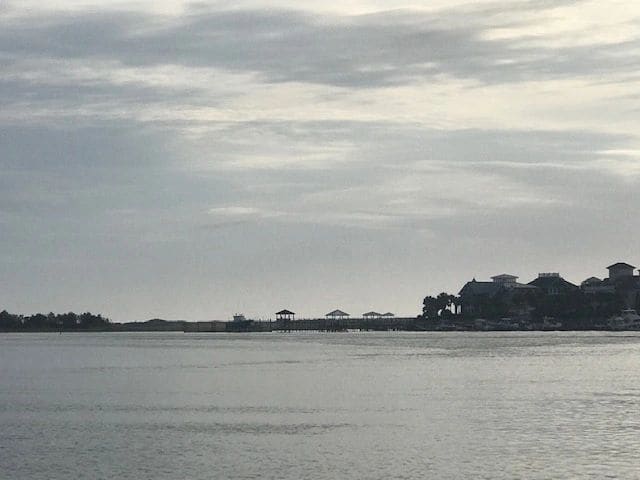
Shoreline, from Bald Head Island to Swansboro.
Shoreline, from Bald Head Island to Swansboro.
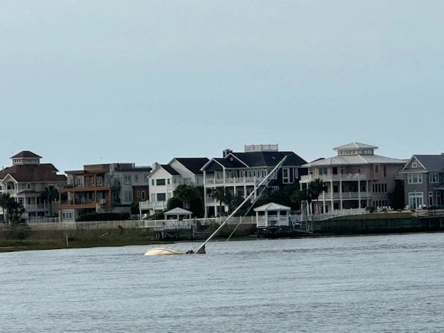
From Bald Head Island to Swansboro
From Bald Head Island to Swansboro
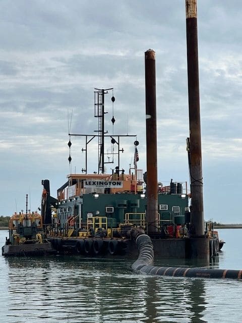
Dredging operation, from Bald Head Island to Swansboro. (The circle and diamond day shapes signal: restricted in ability to maneuver.)
Dredging operation, from Bald Head Island to Swansboro. (The circle and diamond day shapes signal: restricted in ability to maneuver.)
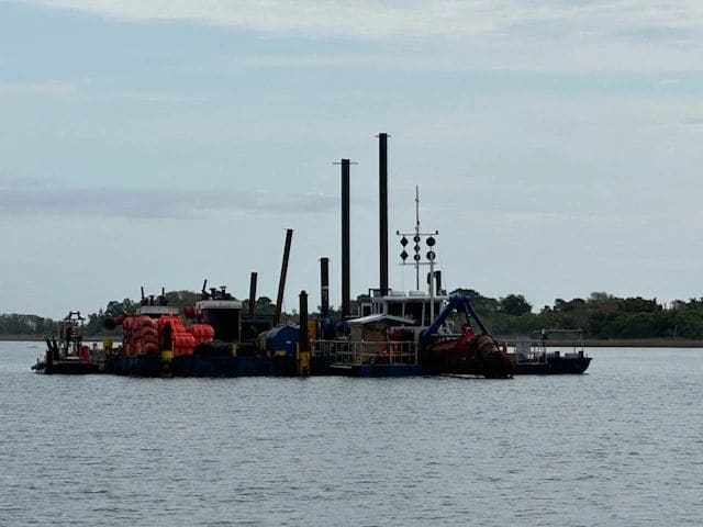
Passing another dredging operation (day shapes easier to see).
Passing another dredging operation (day shapes easier to see).
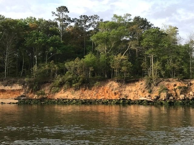
Shore line on the way to Swansboro.
Shore line on the way to Swansboro.
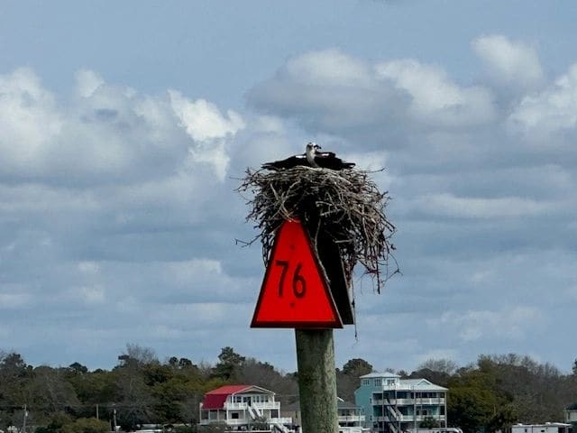
Passing many osprey nests.
Passing many osprey nests.
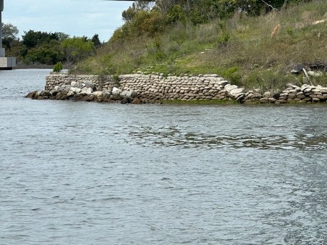
Retaining wall made of bags of concrete.
Retaining wall made of bags of concrete.
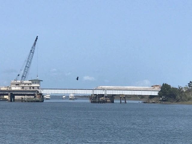
Onslow Beach swing bridge, waiting for the 3 PM opening. Other boats trapped between bridge and live fire exercise zone.
Onslow Beach swing bridge, waiting for the 3 PM opening. Other boats trapped between bridge and live fire exercise zone.
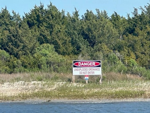
Passing through Camp Lejeune.
Passing through Camp Lejeune.
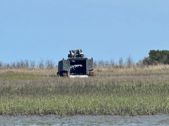
Firing targets.
Firing targets.
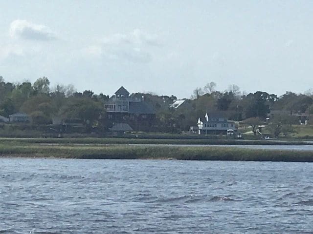
On the way to Swansboro.
On the way to Swansboro.
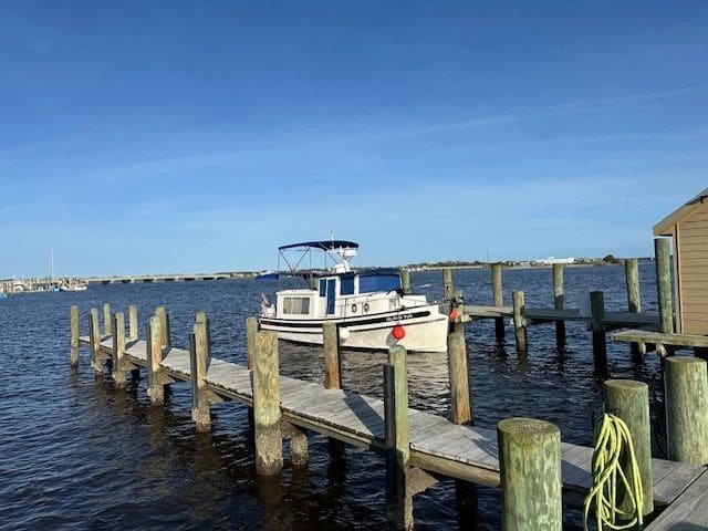
LT at Caspers marina, Swansboro NC.
LT at Caspers marina, Swansboro NC.
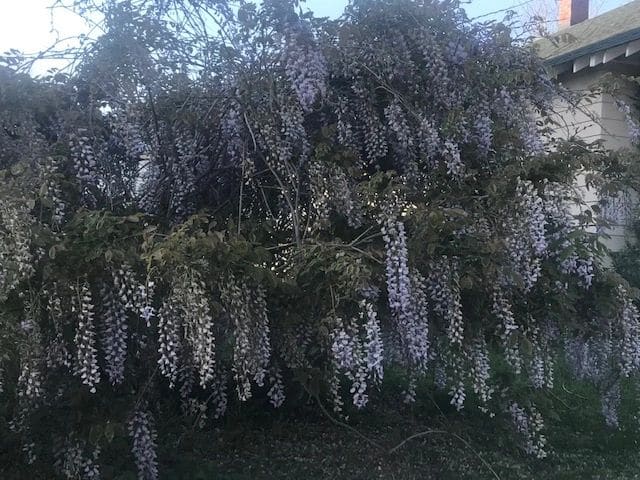
Lilacs, evening walk in Swansboro.
Lilacs, evening walk in Swansboro.
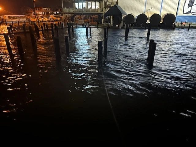
Night of the storm, Caspers marina, Swansboro. The sea otter was by the first set of pilings.
Night of the storm, Caspers marina, Swansboro. The sea otter was by the first set of pilings.
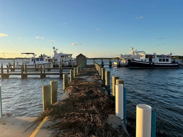
The morning after the storms.
The morning after the storms.
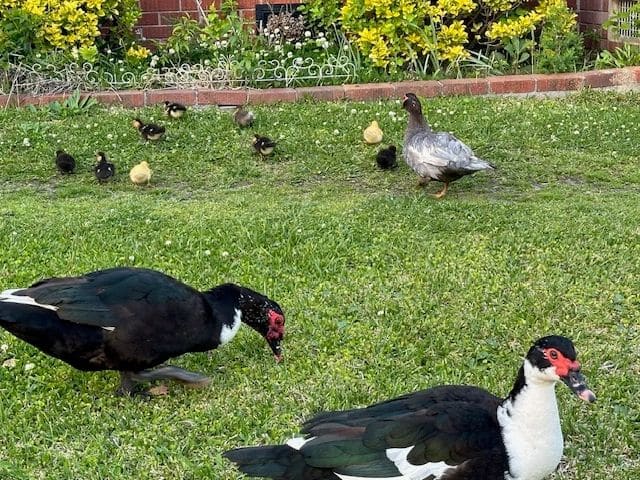
The Muscovy ducks of Swansboro!
The Muscovy ducks of Swansboro!
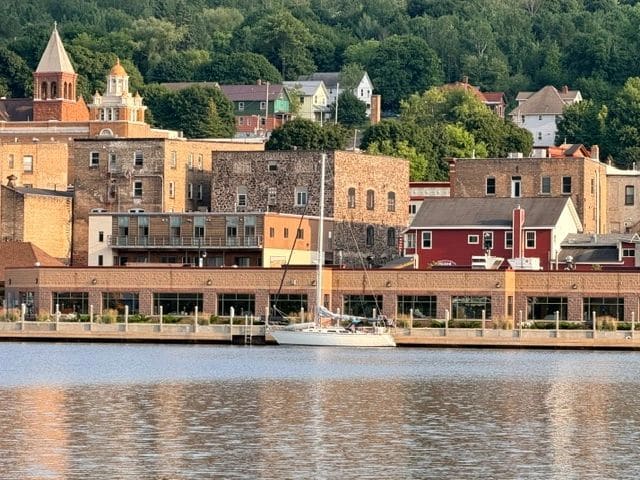
200 miles from Norfolk! (Just past Morehead City and Beaufort on the Newport River, from Swansboro (m229) to Belhaven (m136)).
200 miles from Norfolk! (Just past Morehead City and Beaufort on the Newport River, from Swansboro (m229) to Belhaven (m136)).
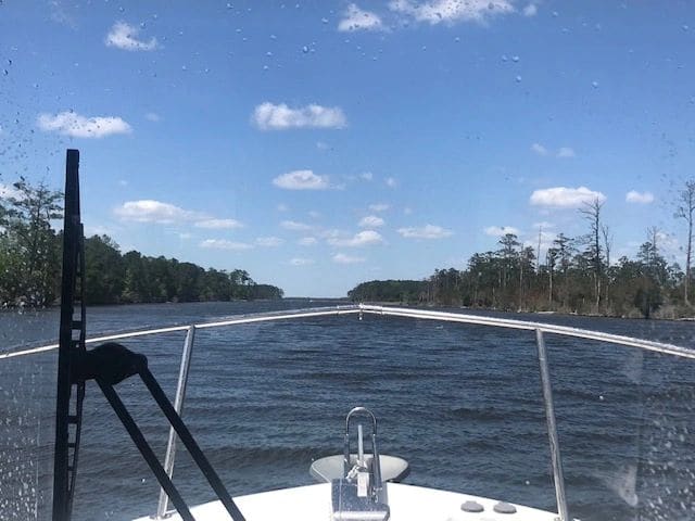
Adams Creek Canal, from Swansboro to Belhaven (heading to Pamlico Sound crossing).
Adams Creek Canal, from Swansboro to Belhaven (heading to Pamlico Sound crossing).
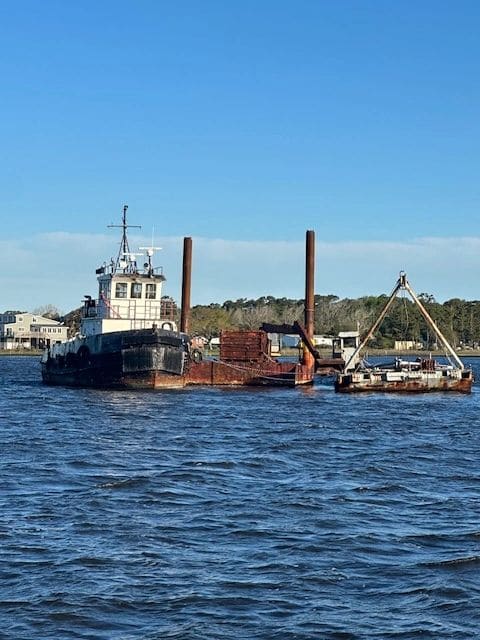
Give this one a wide pass.
Give this one a wide pass.
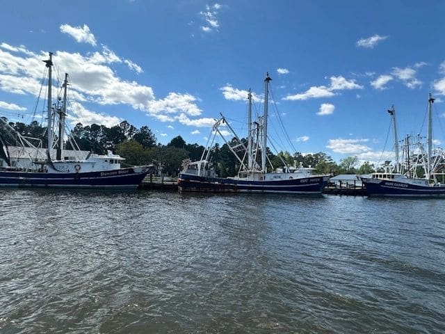
On the way to Pamlico Sound.
On the way to Pamlico Sound.
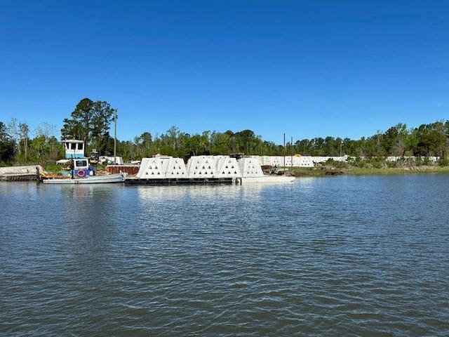
Artificial reefs.
Artificial reefs.
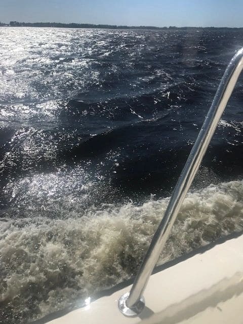
EXTREMELY sporty seas. Pamlico Sound.
EXTREMELY sporty seas. Pamlico Sound.
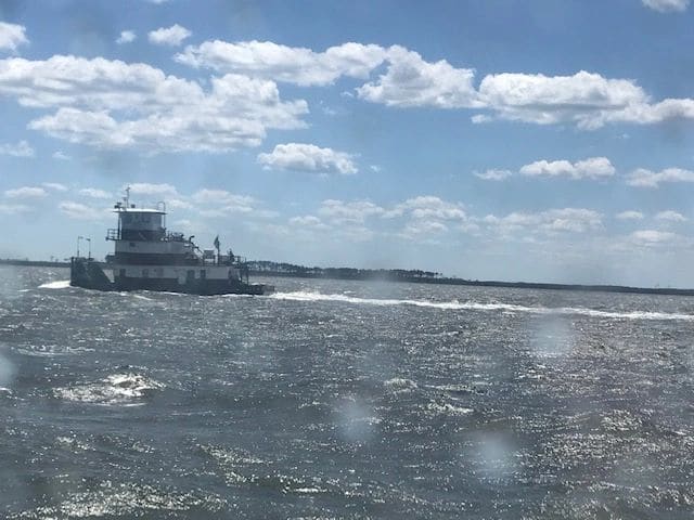
Passing a tow in the Pamlico Sound, from Swansboro for Belhaven.
Passing a tow in the Pamlico Sound, from Swansboro for Belhaven.
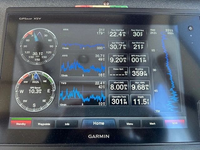
43 mpg gusts (lower blue graph, upper right).
43 mpg gusts (lower blue graph, upper right).
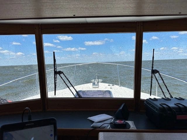
Pamlico Sound crossing. The waves were REALLY big.
Pamlico Sound crossing. The waves were REALLY big.
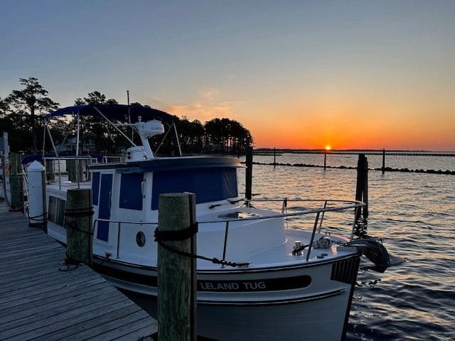
Survived the Pamlico crossing and windy dockage. LT at Grand Manor marina, Belhaven NC.
Survived the Pamlico crossing and windy dockage. LT at Grand Manor marina, Belhaven NC.
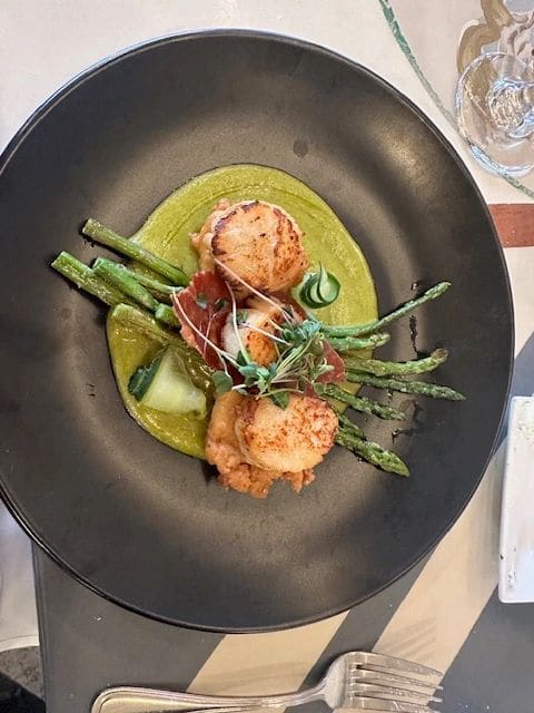
Best scallop dinner at Spoon River Artwork and Market (the cream cheese beneath popped when cut into).
Best scallop dinner at Spoon River Artwork and Market (the cream cheese beneath popped when cut into).
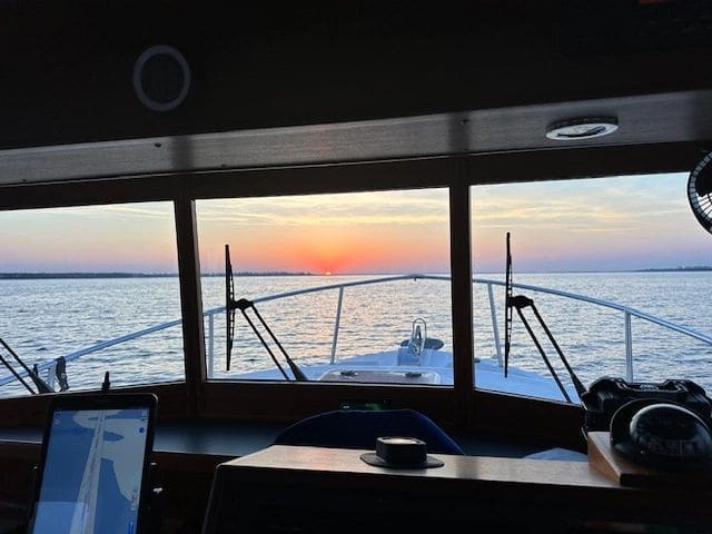
6:07AM, leaving Belhaven for Elizabeth City if the Albemarle Sound is passable, or stopping at Alligator River if it is not passable (which is what happened).
6:07AM, leaving Belhaven for Elizabeth City if the Albemarle Sound is passable, or stopping at Alligator River if it is not passable (which is what happened).
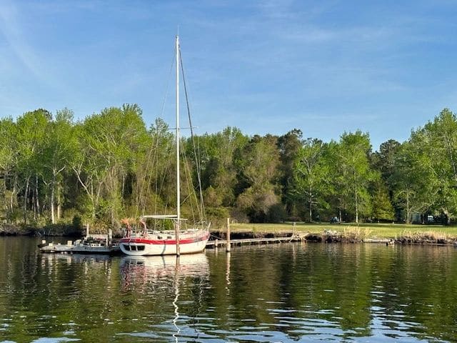
Leaving Belhaven, channel before Alligator River.
Leaving Belhaven, channel before Alligator River.
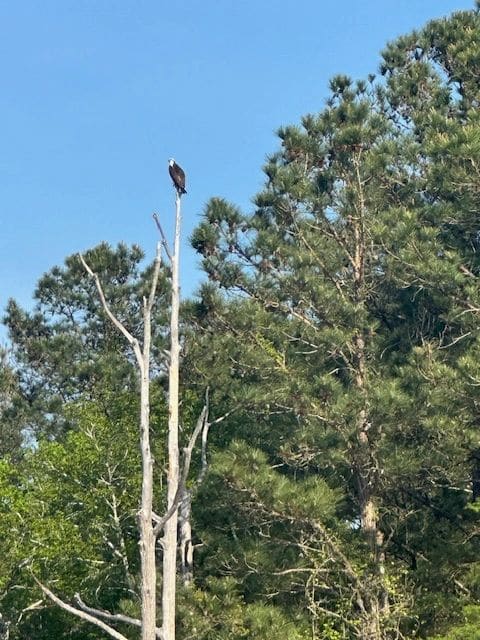
Bald eagle!?
Bald eagle!?
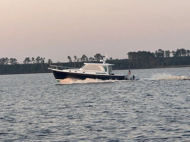
Back Cove passing us, who will later warn us: “Don’t even TRY the Albemarle, we are turning around.”.
Back Cove passing us, who will later warn us: “Don’t even TRY the Albemarle, we are turning around.”.
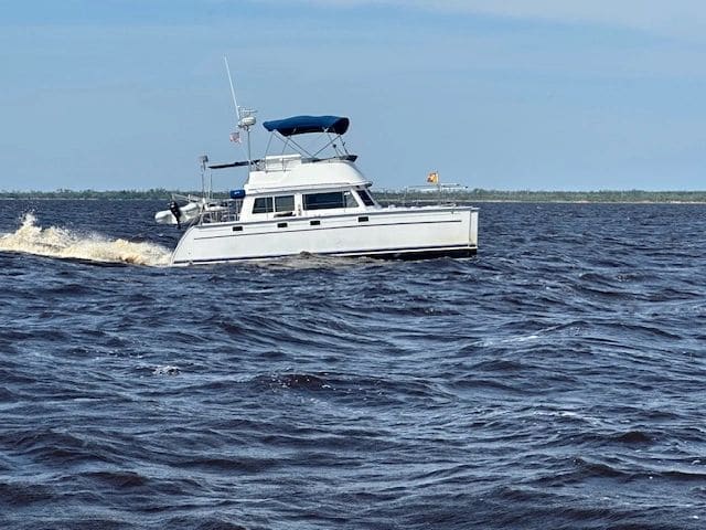
Gold loopers (see yellow flag on bow) passing in the sporty seas of Alligator River. See you later at docktails!
Gold loopers (see yellow flag on bow) passing in the sporty seas of Alligator River. See you later at docktails!
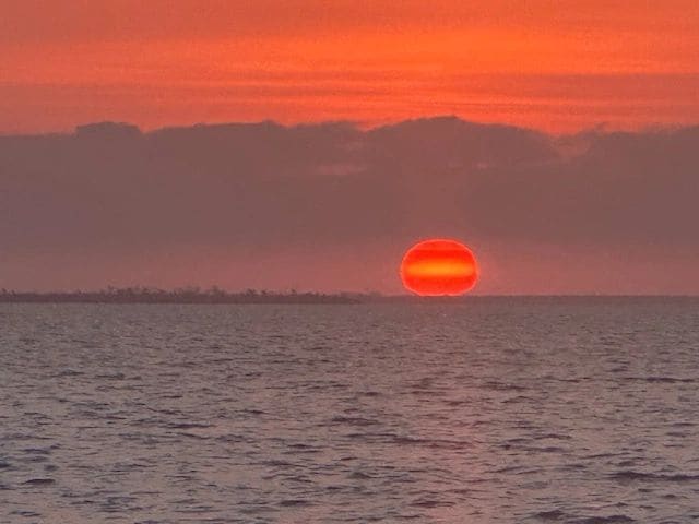
Leaving Alligator River marina…how far will we get - Elizabeth City? Dismal Swamp Welcome Center? Norfolk? (We made it to the end of the Dismal Swamp, docking right before last bridge/lock.)
Leaving Alligator River marina…how far will we get - Elizabeth City? Dismal Swamp Welcome Center? Norfolk? (We made it to the end of the Dismal Swamp, docking right before last bridge/lock.)
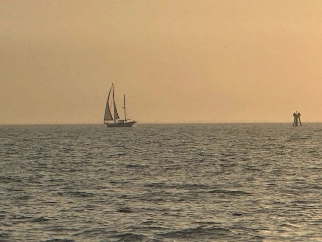
Beautifully calm Albemarle Sound crossing. Texted the boats at Alligator River: the wave are not an issue! Sailboat diverging to Coinjock route.
Beautifully calm Albemarle Sound crossing. Texted the boats at Alligator River: the wave are not an issue! Sailboat diverging to Coinjock route.
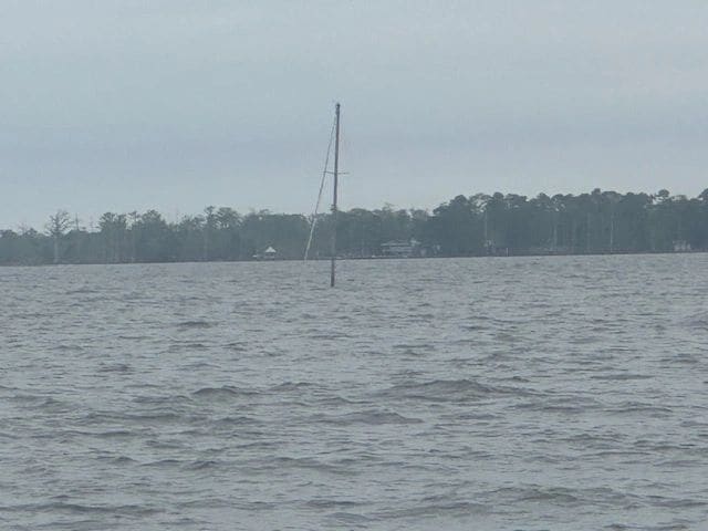
In Albemarle Sound, coming in to Elizabeth City.
In Albemarle Sound, coming in to Elizabeth City.
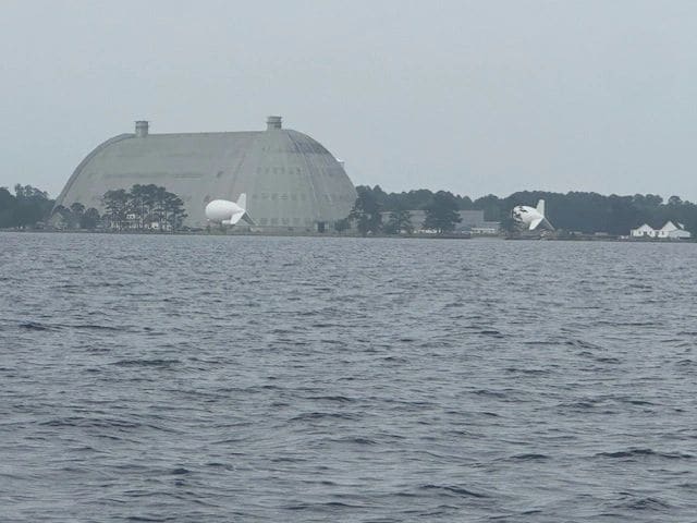
In Albemarle Sound, coming in to Elizabeth City.
In Albemarle Sound, coming in to Elizabeth City.
Left the Alligator River marina, crossed the Albemare Sound, and now passing Elizabeth City.
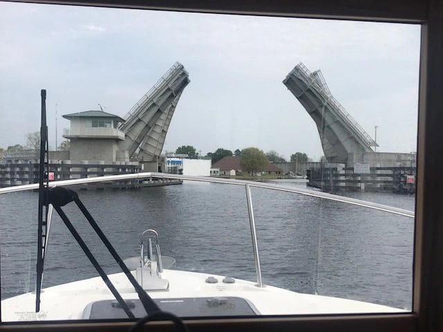
9AM opening of the Elizabeth City bridge.
9AM opening of the Elizabeth City bridge.
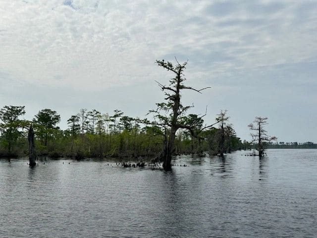
After the bridge, before the Dismal Swamp.
After the bridge, before the Dismal Swamp.
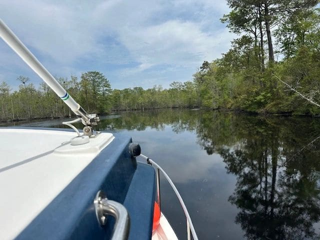
Heading in to the Dismal Swamp channel. Glassy water all day.
Heading in to the Dismal Swamp channel. Glassy water all day.
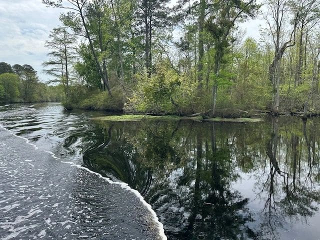
Dismal Swamp.
Dismal Swamp.
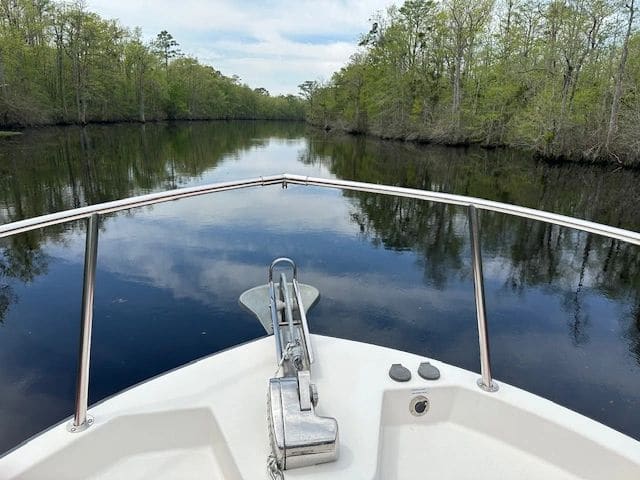
Dismal Swamp.
Dismal Swamp.
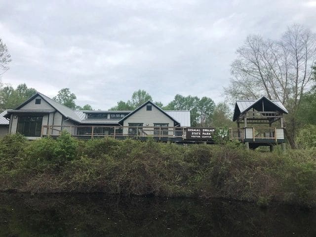
Dismal Swamp Welcome Center. No room to tie up at dock across from the center—kept going!
Dismal Swamp Welcome Center. No room to tie up at dock across from the center—kept going!
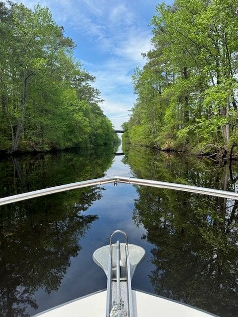
Dismal Swamp.
Dismal Swamp.
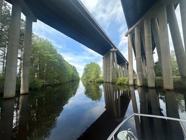
Dismal Swamp.
Dismal Swamp.
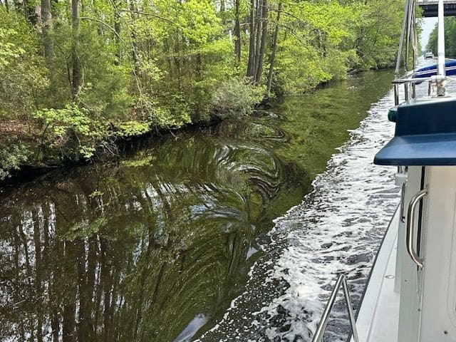
Dismal Swamp.
Dismal Swamp.
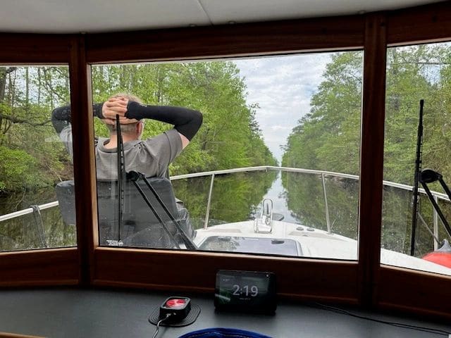
Dismal Swamp.
Dismal Swamp.
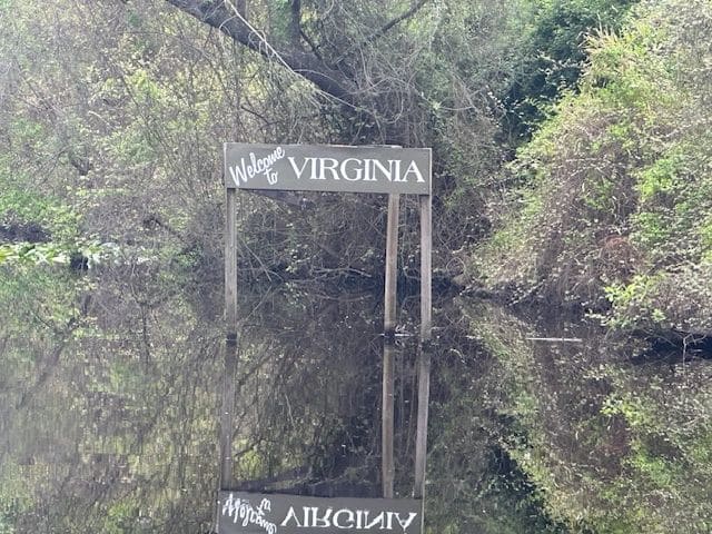
Dismal Swamp: Welcome to Virginia!
Dismal Swamp: Welcome to Virginia!
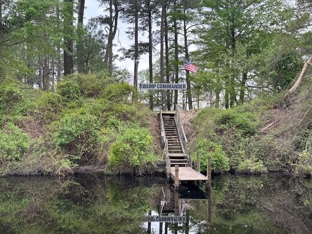
In case you were wondering…
In case you were wondering…
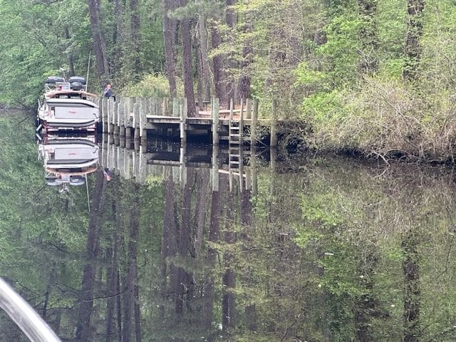
Douglas Road free dock … the boat behind us is stopping here. No more room—kept going!
Douglas Road free dock … the boat behind us is stopping here. No more room—kept going!
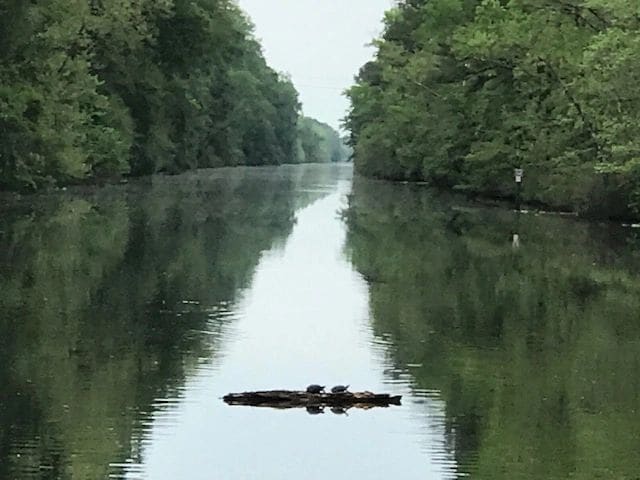
Right in the center of the channel.
Right in the center of the channel.
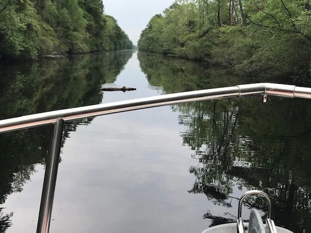
Sorry to disturb!
Sorry to disturb!
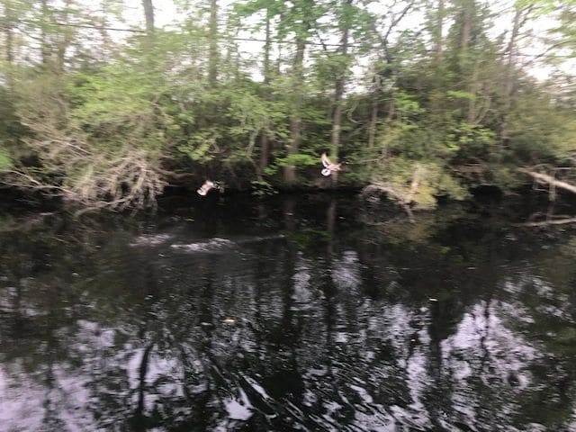
Dismal Swamp.
Dismal Swamp.
LT docking right before the Deep Creek bridge/lock (didn’t make the last/3PM opening; will open the next morning at 8:30AM). Easy walk to a delicious Mexican dinner.
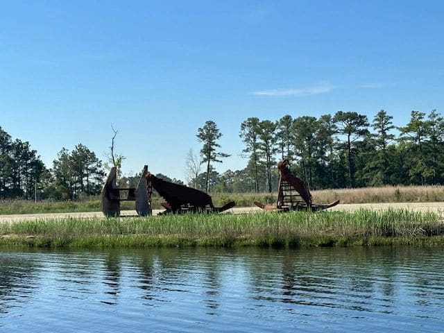
Leaving Dismal for Yorktown, passing Norfolk along the way.
Leaving Dismal for Yorktown, passing Norfolk along the way.
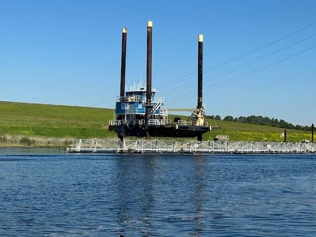
Along the way from Dismal to Yorktown, passing through Norfolk.
Along the way from Dismal to Yorktown, passing through Norfolk.
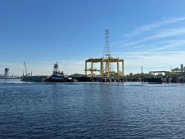
Industry and traffic are picking up as we near Norfolk.
Industry and traffic are picking up as we near Norfolk.
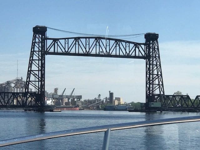
Entering Norfolk.
Entering Norfolk.
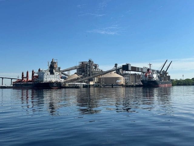
Passing through Norfolk.
Passing through Norfolk.
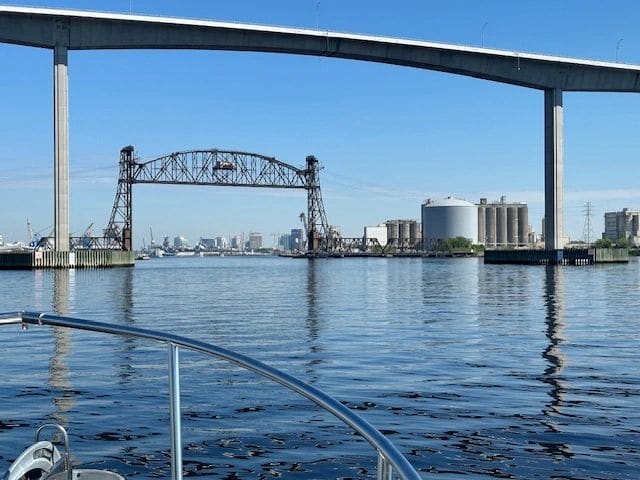
Passing through Norfolk.
Passing through Norfolk.
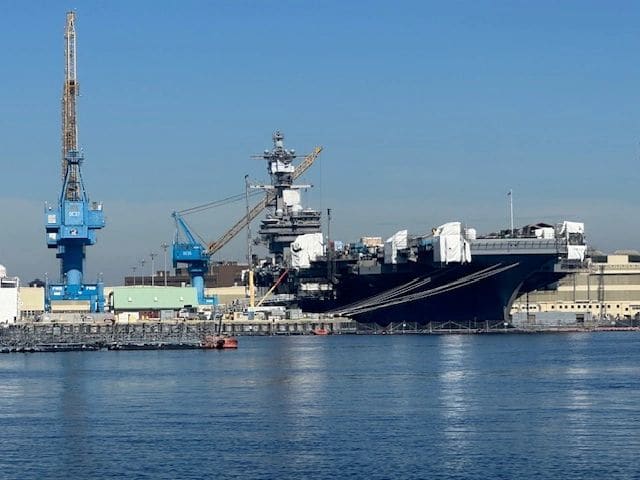
Passing through Norfolk.
Passing through Norfolk.
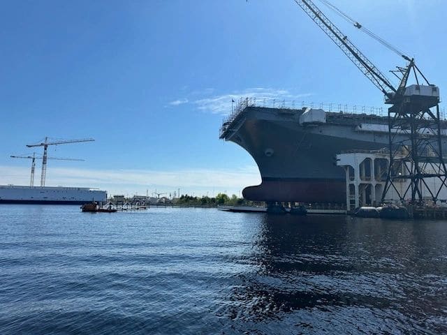
Passing through Norfolk.
Passing through Norfolk.
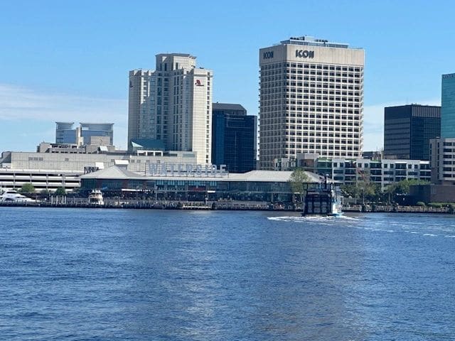
Waterside marina in Norfolk.
Waterside marina in Norfolk.
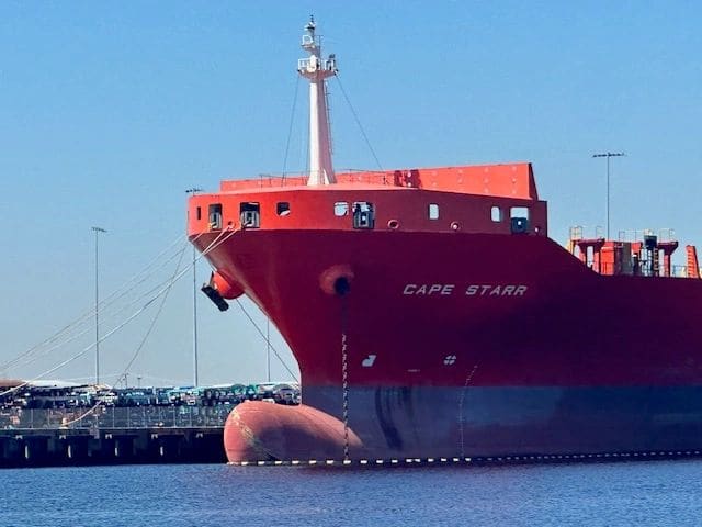
Passing through Norfolk.
Passing through Norfolk.
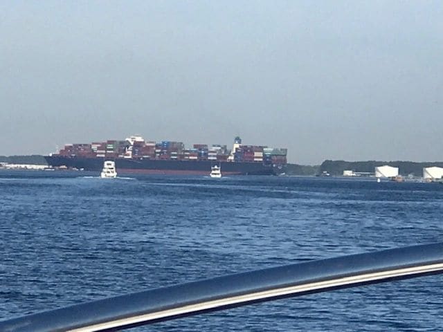
Passed Norfolk, heading into Chesapeak Bay.
Passed Norfolk, heading into Chesapeak Bay.
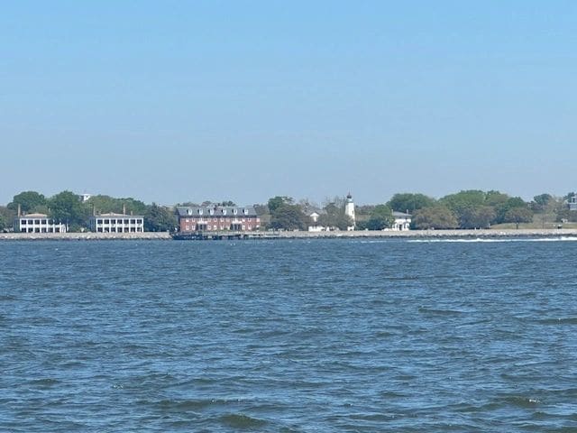
Heading into Yorktown.
Heading into Yorktown.
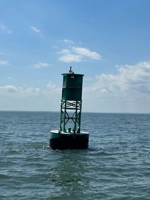
Channel marker on way to Yorktown.
Channel marker on way to Yorktown.
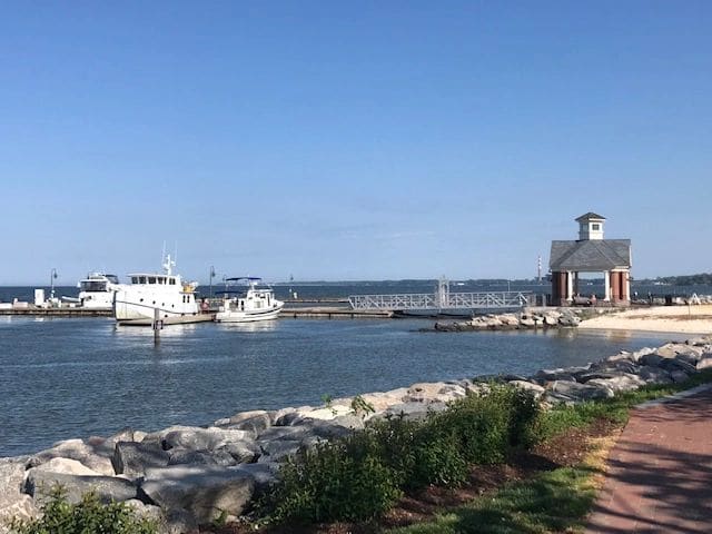
LT at Yorktown, next to a Great Harbour.
LT at Yorktown, next to a Great Harbour.
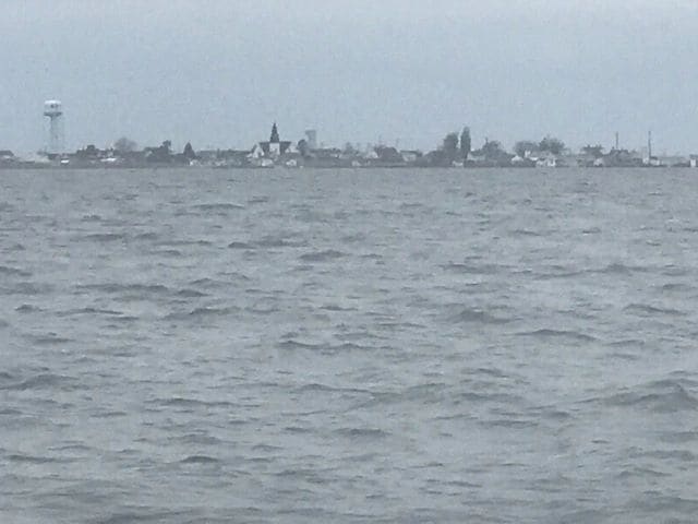
Tangier Island, on way from Yorktown to Crisfield.
Tangier Island, on way from Yorktown to Crisfield.
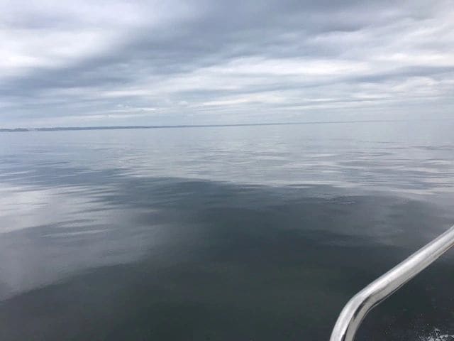
Glassy Chesapeake Bay, from Crisfield to Annapolis.
Glassy Chesapeake Bay, from Crisfield to Annapolis.
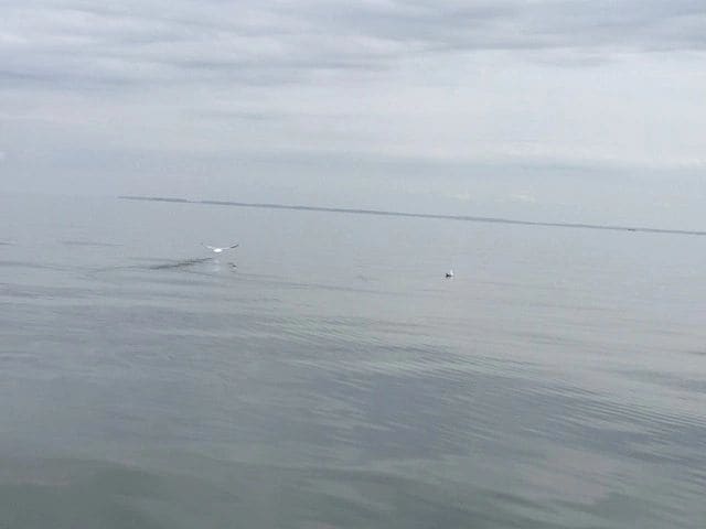
Glassy Chesapeake Bay, from Crisfield to Annapolis.
Glassy Chesapeake Bay, from Crisfield to Annapolis.
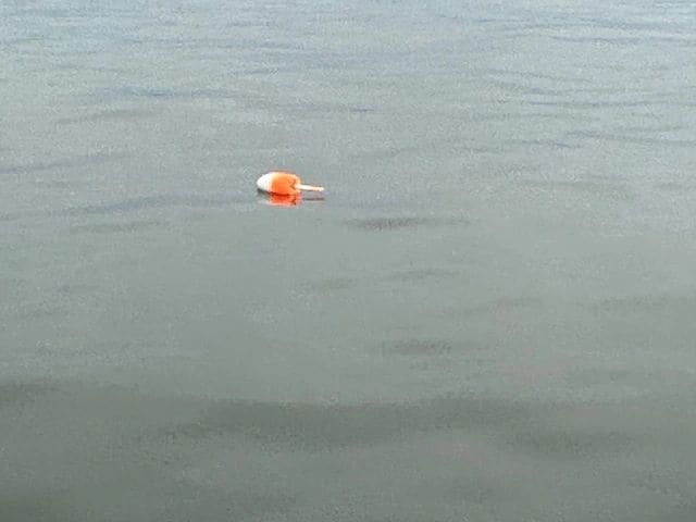
Crab pot fields are all over the Chesapeake Bay.
Crab pot fields are all over the Chesapeake Bay.
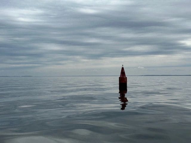
Glassy Chesapeak Bay, from Crisfield to Annapolis.
Glassy Chesapeak Bay, from Crisfield to Annapolis.
Glassy Chesapeake Bay, from Crisfield to Annapolis.
Glassy Chesapeake Bay, from Crisfield to Annapolis.
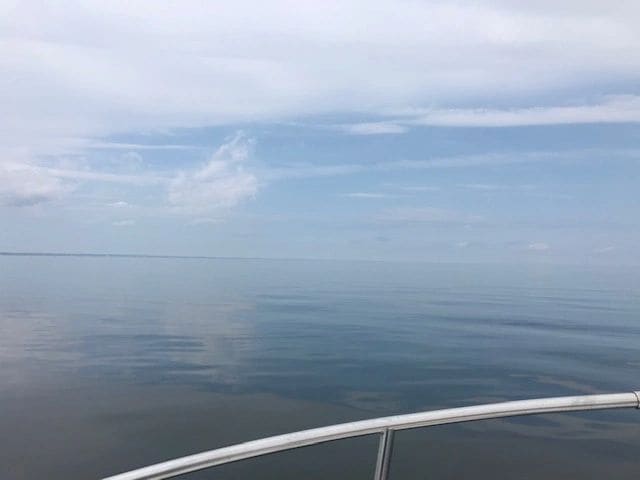
Glassy Chesapeake Bay, from Crisfield to Annapolis.
Glassy Chesapeake Bay, from Crisfield to Annapolis.

Nealy to Annapolis, coming up to the Thomas Point Shoal Lighthouse.
Nealy to Annapolis, coming up to the Thomas Point Shoal Lighthouse.
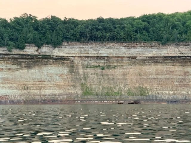
Passed by the Thomas Point Shoal Lighthouse.
Passed by the Thomas Point Shoal Lighthouse.
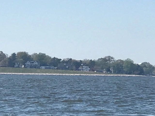
Annapolis shoreline.
Annapolis shoreline.
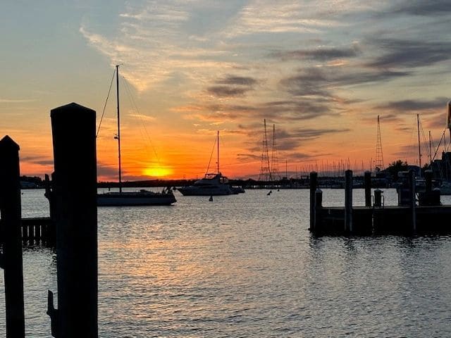
Sunset in Annapolis, docked at the Annapolis Yacht Basin.
Sunset in Annapolis, docked at the Annapolis Yacht Basin.